Dr Julian Leyland
- Position
- Senior Lecturer
- Institution
- Geography (FSHS)
- Contact
- Complete this online contact form to contact Julian.
I am a lecturer in Physical Geography at University of Southampton. I have interests in landscape evolution modelling, hydraulic modelling and processing and application of terrestrial laser scan data in a geomorphological context. I regularly use Iridis to run landscape evolution and hydraulic models and to process large 3D point cloud data.
Julian's team members
 Chris Hackney Chris HackneyPostgraduate Research Student, Geography (FSHS) |
Working with...
 Stephen Darby Stephen DarbyProfessor, Geography (FSHS) |
Joint projects with...
|
Stephen Darby Professor, Geography (FSHS) |
 Christopher Hackney Christopher HackneyResearch Fellow, Geography (FSHS) |
Projects
Impacts of Climate and Sea-Level Change on Coastal Gullies
With Stephen Darby (Investigator), Chris Hackney

Sediment Transfer and Erosion on Large Alluvial Rivers (STELAR-S2S)
With Stephen Darby, Christopher Hackney (Investigators)
Gallery
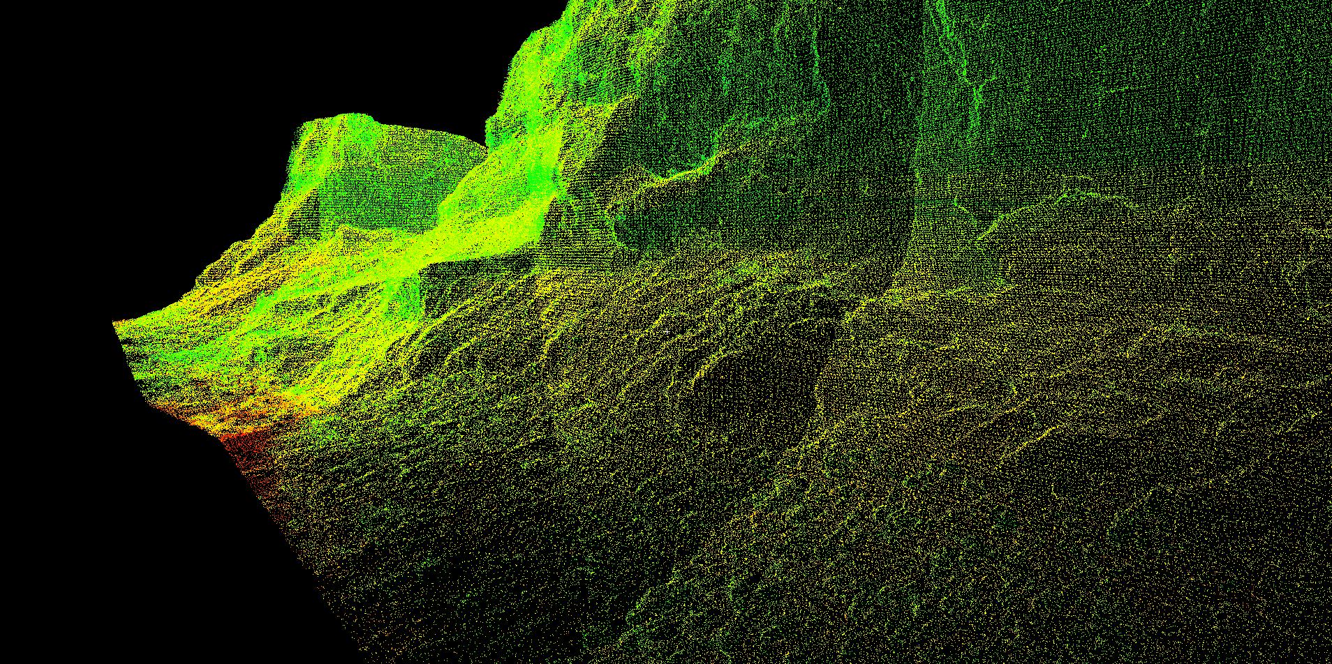
Terrestrial Laser Scanned data of a deeply incised river bank on the Cecina River, Italy. We are using this data to explore bank roughness metrics and the feedback to erosion rates.
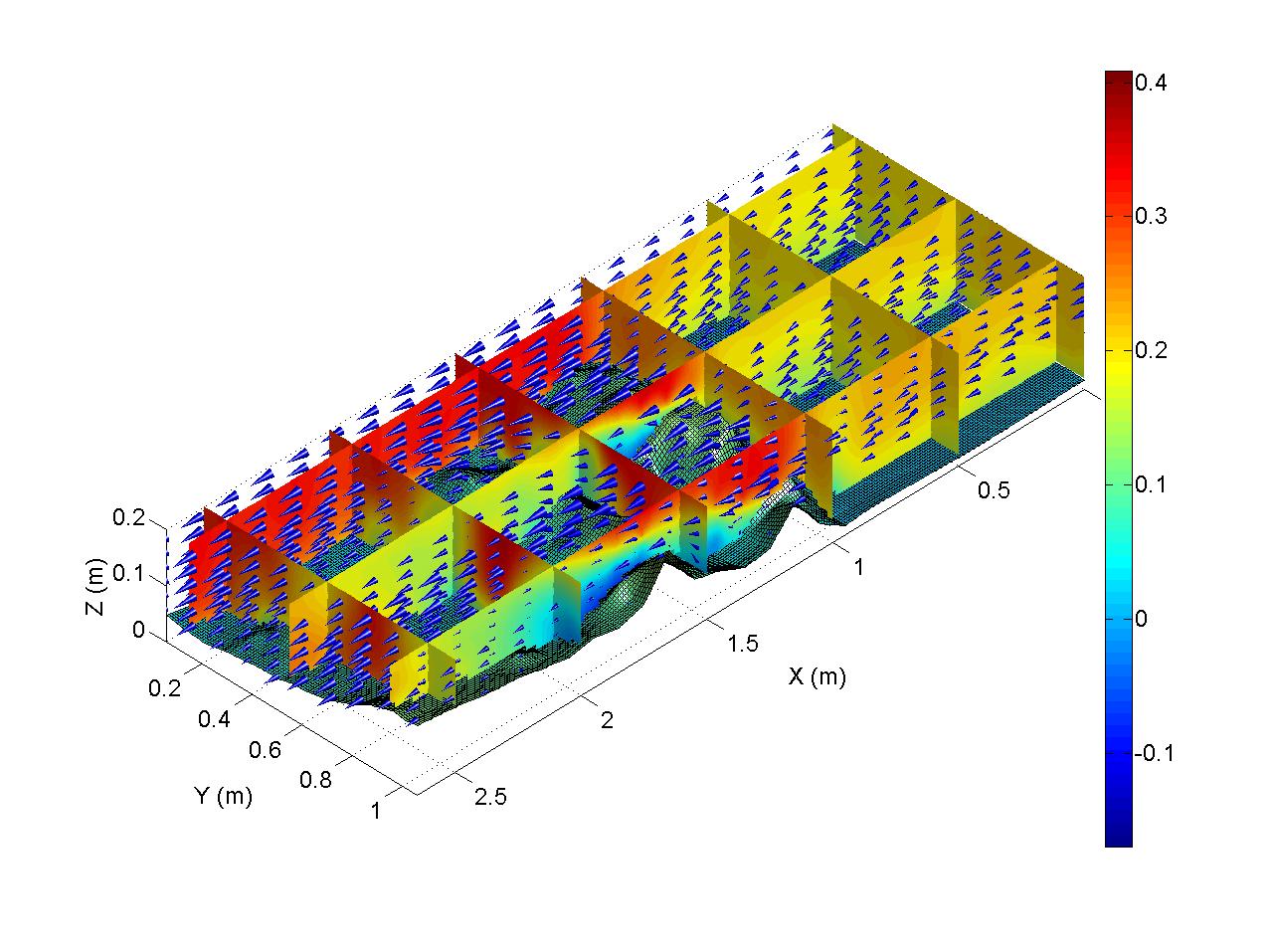
Visualisation of measured (ADVP) velocity fields over a model of a forest floodplain in a flume setup. Produced for Prof. Steve Darby - NERC project.
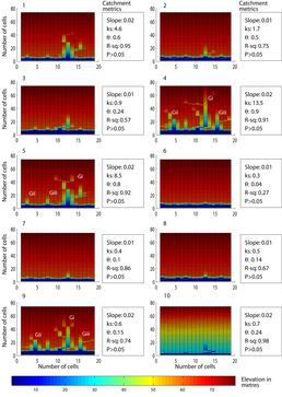
Outputs from numerical simulations (run on IRIDIS) of incised coastal gully evolution through the Holocene (last 12,000 years). See Leyland and Darby (2009) for further details of simulations.